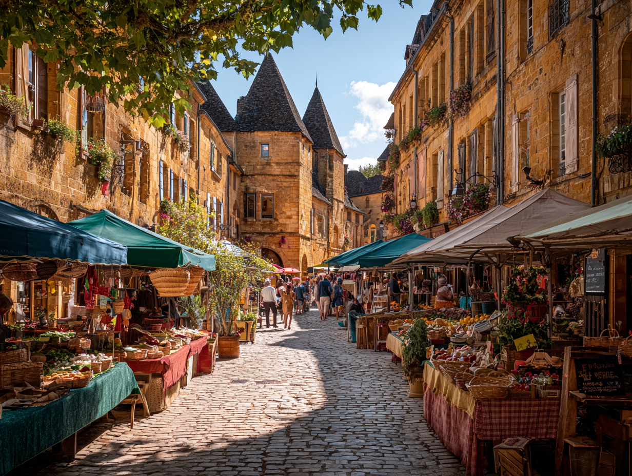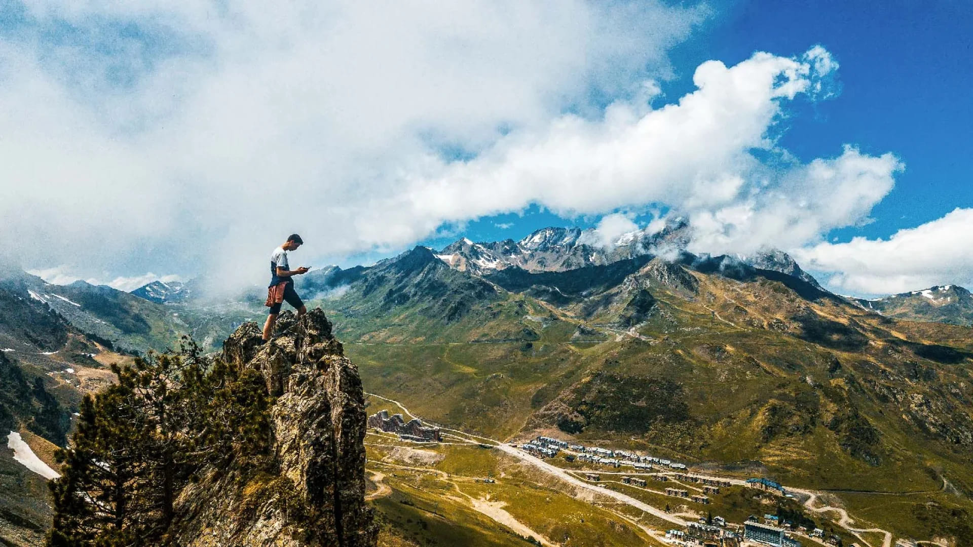
At 2,115 metres, the Col du Tourmalet is the highest paved mountain pass in the French Pyrenees and the most celebrated. It has featured in the Tour de France more than any other col — 87 times at the last count. Nothing in those statistics prepares you for what it actually feels like to ride it: the relentless false summits from Sainte-Marie-de-Campan, the road narrowing above La Mongie, the moment the summit appears and the bronze statue of the cyclist stands alone in the wind.
The Ascent from Sainte-Marie-de-Campan — The Classic Line
The eastern approach from Sainte-Marie-de-Campan is the classic line and the more dramatic of the two. The road begins gently through the valley before turning serious at La Mongie — the ski station at 1,800m where the gradient increases and the landscape opens without warning into something enormous. The final four kilometres to the summit are on exposed, steep, hairpin road with views down to the valley that make it genuinely difficult to keep your eyes on the tarmac.
"Nothing in the statistics prepares you for what it actually feels like — the false summits, the cold air, the silence at the top, and the bronze statue standing in the wind at 2,115m."
At the Summit
Stop here. Drink something hot if the café is open. The temperature at the summit in midsummer can be 15°C cooler than the valley below. The view in every direction — north toward Lourdes, south toward Spain, east toward the Aspin, west toward the Aubisque ridgeline — is the complete panorama of the central Pyrenees.
The Western Descent — Luz-Saint-Sauveur
The descent toward Luz-Saint-Sauveur on the western side is long, exposed, and faster-feeling than it has any right to be. The gradient is consistent, the hairpins well-sighted, and the road surface generally good — but the drop on the valley side is present on every corner, and the pace demands full attention. This is not a descent to ride looking at the view.
Col du Tourmalet — Practical Notes
- Altitude 2,115m — highest paved pass in the French Pyrenees
- Open season Typically late May to late October (weather-dependent)
- Best approach From the east (Sainte-Marie-de-Campan) for the more dramatic final climb
- Summit Café and basic shop — bring layers regardless of valley temperature
- Traffic Busy on summer weekends — ride early to have the best of it
- Tour de France 87 appearances — more than any other col in the race's history
- Fuel Fill up at Sainte-Marie-de-Campan (east) or Luz-Saint-Sauveur (west)