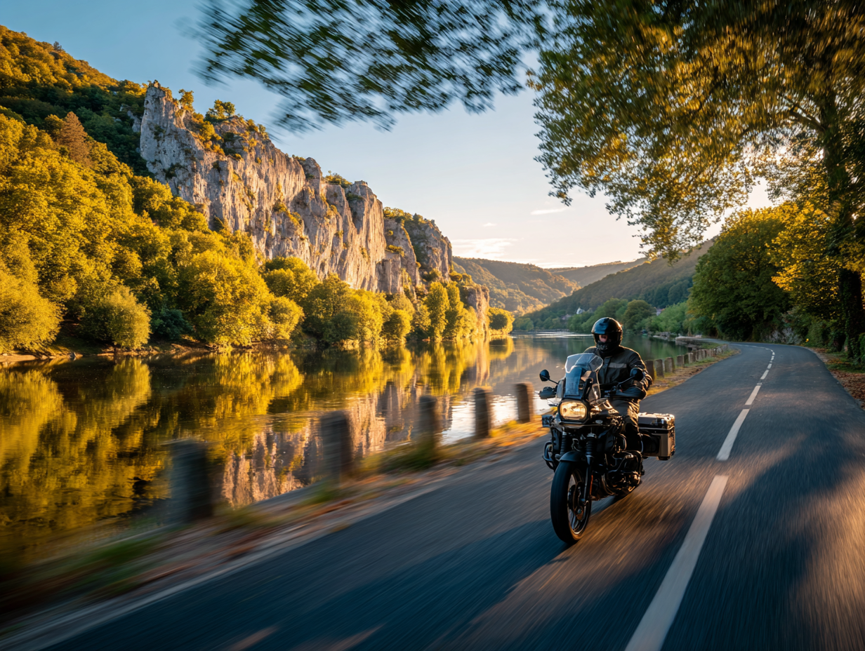
A Pyrenees motorcycle tour rewards careful preparation. The range is over 400 kilometres from the Atlantic to the Mediterranean and the high passes create logistical realities that don't apply on flatter terrain: passes that close without warning, weather that changes faster than forecasts suggest, fuel stations further apart than expected. This guide covers everything from direction and season to insurance and what to pack.
1. Direction and Duration
West-to-east (Biarritz → Perpignan) gives satisfying geographical logic. For a loop, Pau or Lourdes are the best bases in the central Pyrenees. Allow a minimum of 5 days; 7–10 days is optimal for covering the range without rushing.
2. Season and Pass Status
High passes are typically open from late May to late October. Check col status at the Route des Pyrenees website the evening before each high-altitude day. Passes can close overnight after a summer storm and reopen by midday — build flexibility into your schedule rather than distance.
3. Plan Distances Realistically
A 200km day through three cols is a full six-to-seven hours in the saddle. Plan 120–160km per mountain day, up to 200km on valley transit days. The Pyrenees reward being present and unhurried.
"Plan carefully, then stop planning — the road will take it from there."
4. Fuel Management
Never leave a valley town without a full tank if the next leg involves two or more passes. Key fuel stops: Luz-Saint-Sauveur (before the Tourmalet), Laruns (before/after the Aubisque), Saint-Lary-Soulan (before the Portet). Many summit cafés have stopped selling fuel — do not assume.
5. Book Accommodation Early
June and September: 2–3 weeks ahead is generally fine. July–August: book as soon as your dates are confirmed, particularly during Tour de France week. The best smaller hotels fill first.
6. Pack for Mountain Weather
The Pyrenees generate their own weather systems. A clear morning in the valley does not guarantee a clear summit. Pack a quality waterproof, a thermal mid-layer, and gloves that work in rain.
7. Offline GPS Maps
Mobile data coverage in the high Pyrenees is patchy. Download offline maps before departure. Mark pass summits, fuel stations, and accommodation as waypoints. Several of the most dramatic stretches have no signal at all.
8. Insurance and Emergency Contacts
European breakdown cover with motorcycle repatriation is essential. Mountain rescue in France (PGHM) is free of charge. Keep emergency numbers accessible: 15 for SAMU, 112 for all emergencies.
Pre-Departure Checklist
- Dates confirmed and col opening status checked
- Route planned at realistic daily distances
- Accommodation booked — critical July–August
- Fuel stops mapped — never less than half a tank before a col approach
- Offline GPS maps downloaded with waypoints marked
- Waterproofs and layers packed regardless of forecast
- Insurance confirmed — breakdown with repatriation, medical cover
- Bike serviced — tyres, brakes, chain, fluids

